Easy setup & Plug ‘n Play
The system boasts an easy setup that eliminates the need for intricate tuning or calibration. Once the satellite connection is established, the system is ready for operation.
To provide positioning with an accuracy of up to 10 mm for precise and reliable navigation of autonomous unmanned ground vehicles (UGV).
KEY ELEMENTS
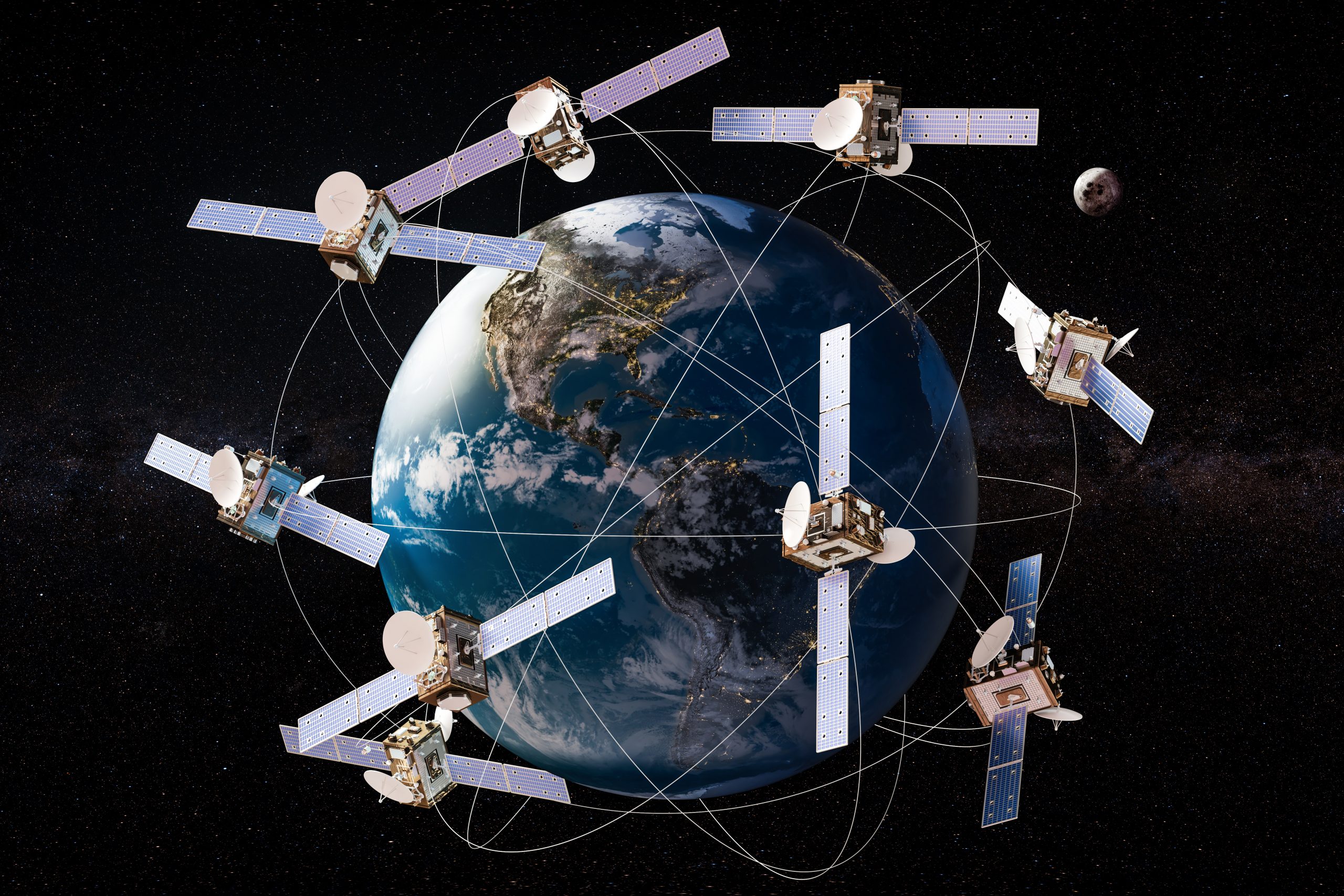
Satellites provide signals that transmit positioning and timing data to GNSS receivers.
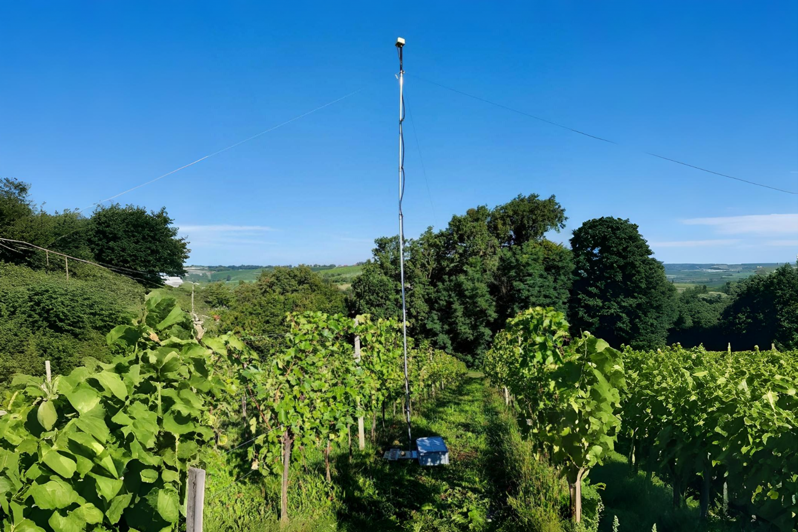
The base station sends correction data to the rover.

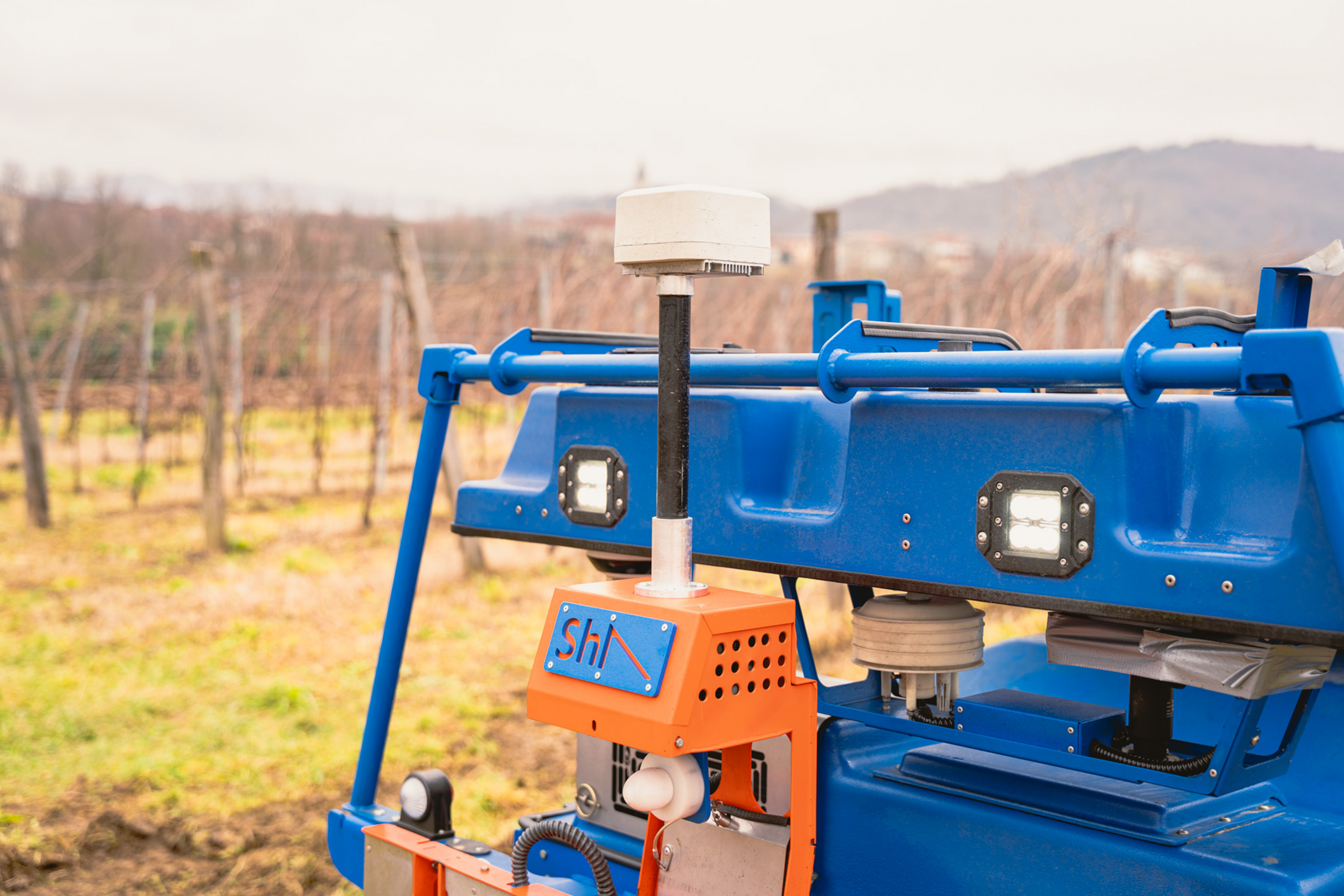
Rover – receives the GNSS signal and correction data from the base station.
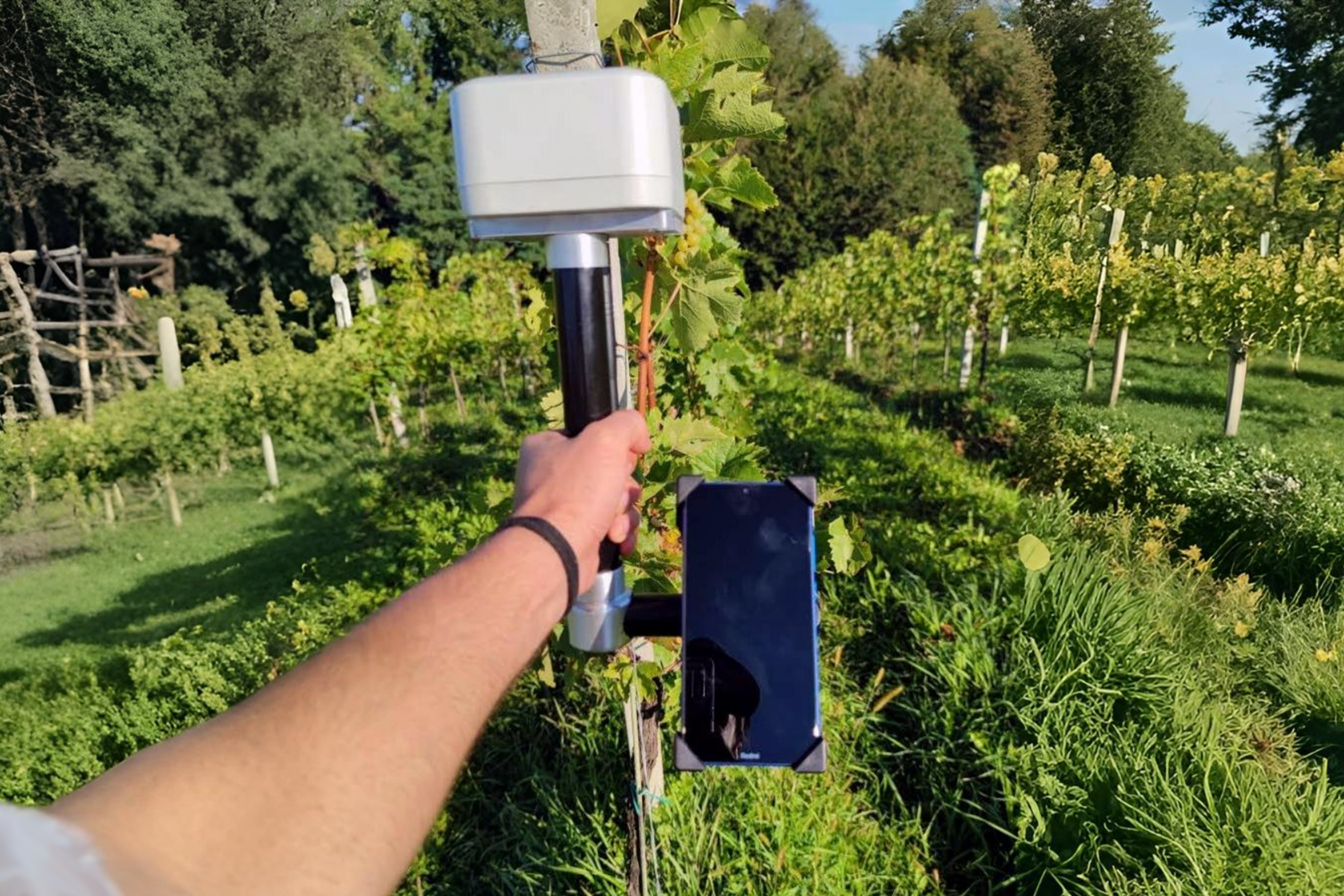
A handheld receiver for map-making or pinpointing position.

HOW IT WORKS
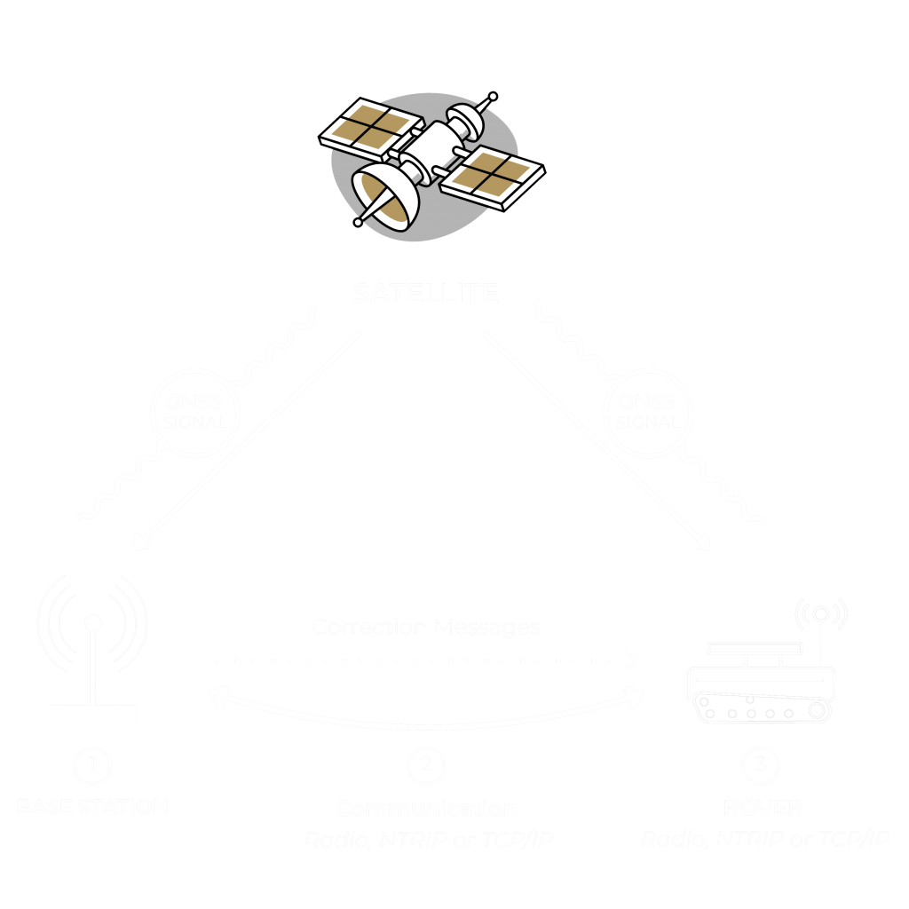
The base station sends corrections to Slopehelper and this additional data acts as a countermeasure, rectifying potential discrepancies in the GNSS data introduced by atmospheric and ionospheric variances, nearby building structures, and even weather dynamics.
To reach centimeter-level precision, the base station generates correctional data and transmits it to the rover in real time. This flawless transmission occurs via a dedicated Wi-Fi network established by the base station. Once received, the rover incorporates these corrections into its GNSS positional calculations, guaranteeing exceptional accuracy.
Contact us to learn more about Slopehelper navigation.
For all industries and operations requiring centimeter-level precision