R-WAVE

RTK NAVIGATION

The Challenge

To provide positioning with an accuracy of up to 10 mm for precise and reliable navigation of autonomous unmanned ground vehicles (UGV).

R-wave rtk

KEY ELEMENTS

GNSS Satellites

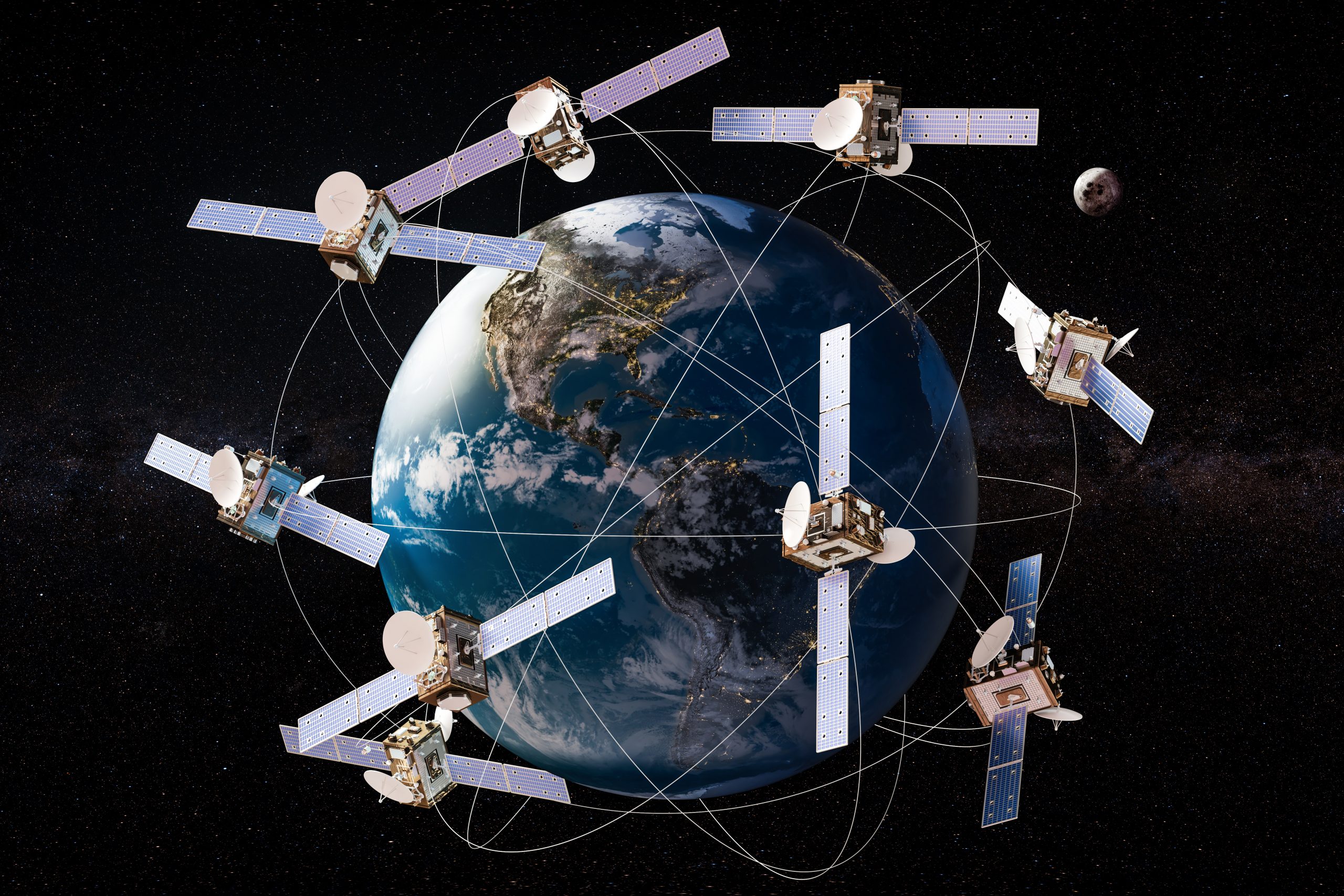
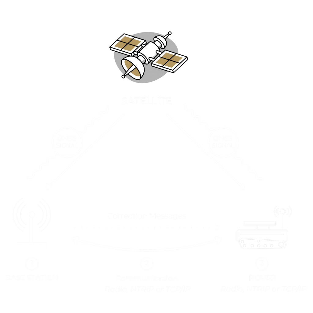
Satellites provide signals that transmit positioning and timing data to GNSS receivers.

Base station

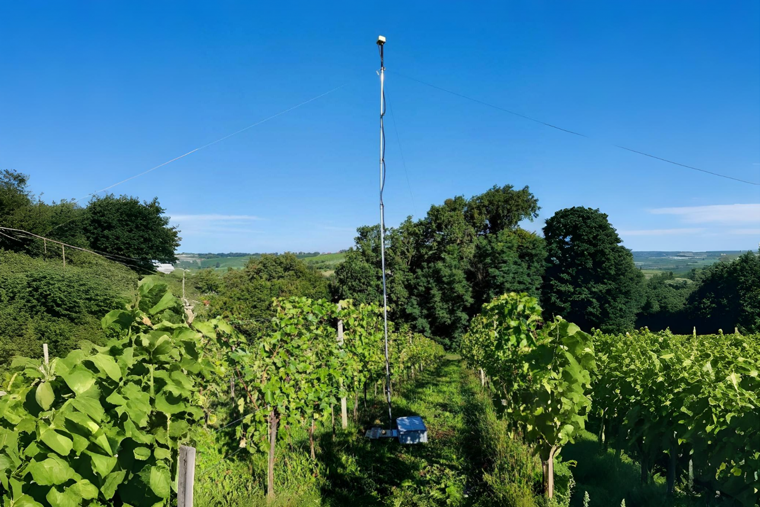
The base station sends correction data to the rover.

RTK Vehicle Antenna

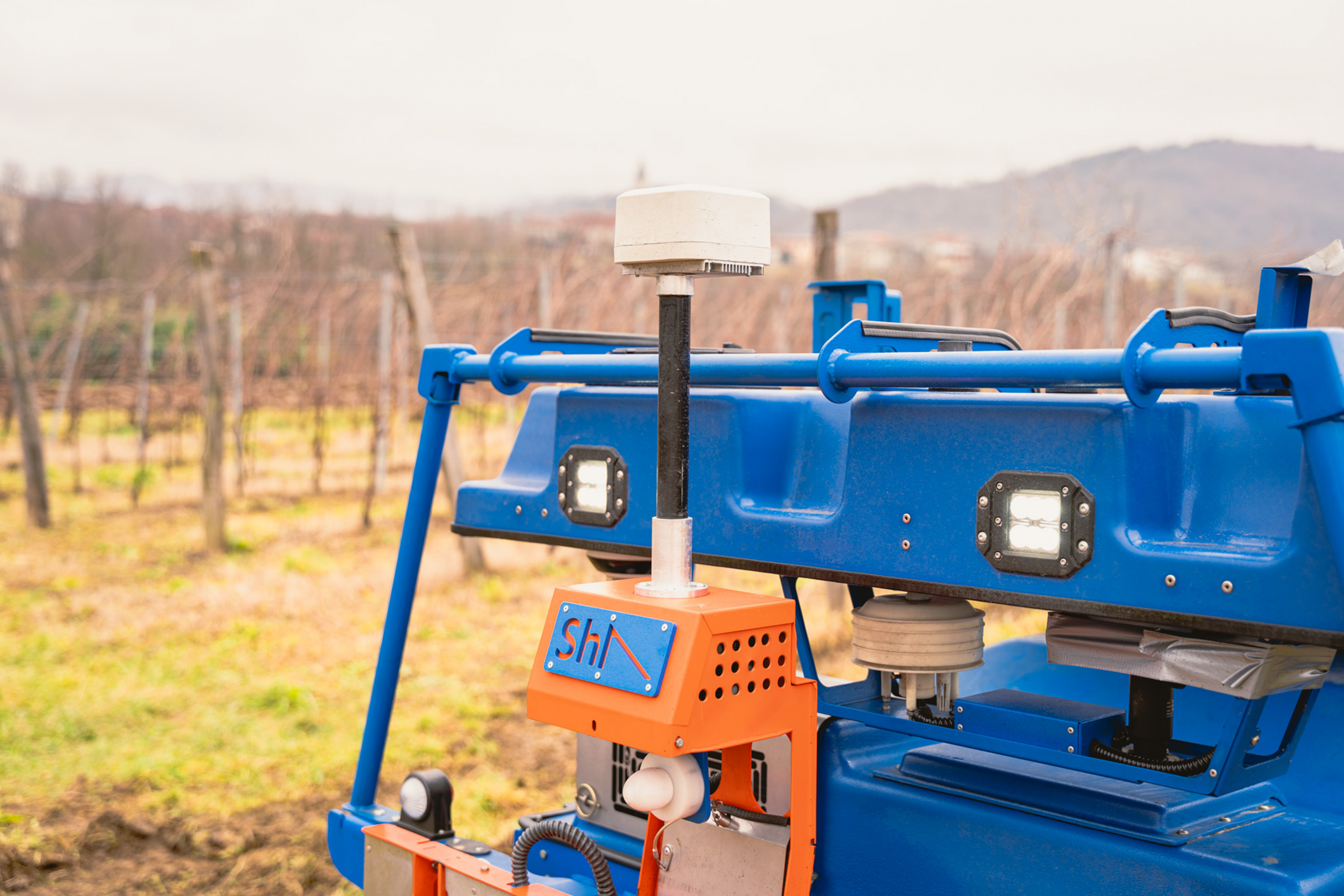
Rover – receives the GNSS signal and correction data from the base station.

RTK Mapper

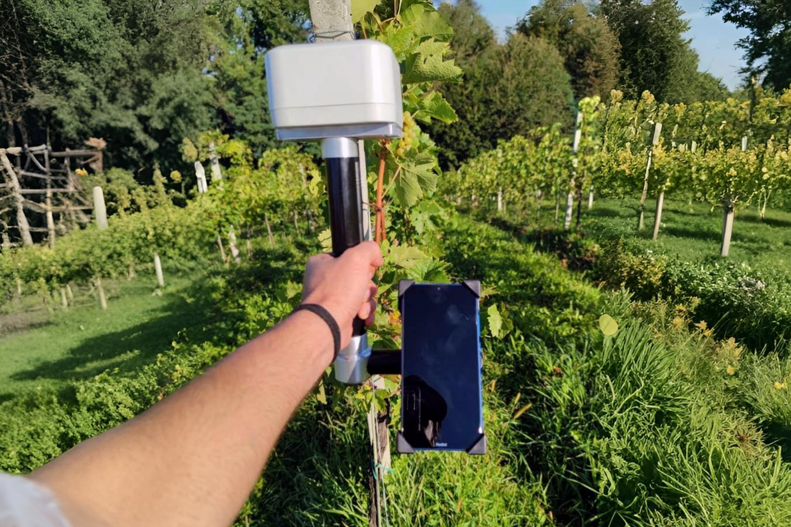
A handheld receiver for map-making or pinpointing position.

R-WAVE RTK

HOW IT WORKS

RTK, or Real-Time Kinematic positioning, is a sophisticated technology that significantly enhances the accuracy of GNSS (Global Navigation Satellite System) positioning. While conventional GNSS receivers, such as those relying on GPS, provide locational accuracy within a range of 2-4 meters, the RTK technology narrows this down to a remarkable centimeter-level precision.
The architecture of the RTK system is built around three key components: a stationary base station, a mobile receiver (known as the “rover”), and a dedicated data link that connects them. In addition, for more dynamic mapping scenarios, a handheld mapper can be incorporated into the system. The base station maintains a fixed position, serving as an essential reference point, while the rover is attached to vehicles or other moving objects. A significant benefit of this system is the base station’s ability to communicate with multiple rovers simultaneously.

Slopehelper RTK navigation option

The base station sends corrections to Slopehelper and this additional data acts as a countermeasure, rectifying potential discrepancies in the GNSS data introduced by atmospheric and ionospheric variances, nearby building structures, and even weather dynamics.

To reach centimeter-level precision, the base station generates correctional data and transmits it to the rover in real time. This flawless transmission occurs via a dedicated Wi-Fi network established by the base station. Once received, the rover incorporates these corrections into its GNSS positional calculations, guaranteeing exceptional accuracy.

Contact us to learn more about Slopehelper navigation.

Contact Us

BENEFITS & ADVANTAGES

Easy setup & Plug ‘n Play

The system boasts an easy setup that eliminates the need for intricate tuning or calibration. Once the satellite connection is established, the system is ready for operation.

All-Weather Operation

Reliable operation in all weather conditions or/and in low visibility.

Long Battery Life

The system can operate up to one month without recharging.

Robustness and quality

All elements are characterized by high quality and a long service life, as they are designed to operate in demanding weather conditions.

Compact and easy to transport

The antenna, mapper, and the modular frame of the base station are designed with compactness in mind. This ensures not only easy transportation but also facilitates a swift setup of the system in the field.

FIELDS OF USE

For all industries and operations requiring centimeter-level precision

SURVEYING & MAPPING

CONSTRUCTION

PRECISION AGRICULTURE

SURVEYING & MAPPING

OUR CONTACTS

PHONE
+386 30 777 050
EMAIL
info@pekauto.com
ADDRESS
Obrtniška ulica 17, Logatec, Slovenia 1370

Google reCaptcha: Invalid site key.